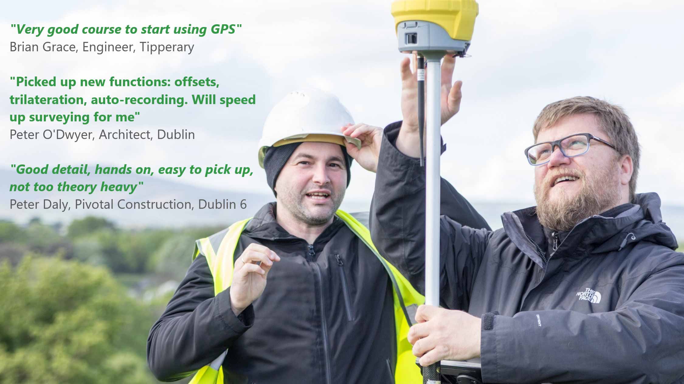
GNSS /GPS Training Course

We understand that with the new technology come new challenges and we are here to help you overcome them.
Our GPS training course has been adapted for professionals who want to start with or improve their RTK GNSS measurement, get more site information and spend less time connecting dots in the office.
With the help of our instructor - a former site engineer and lecturer at Trinity College - you'll learn how to be more confident in using modern technology on site, complete your jobs faster and increase your revenue with better orders from contractors.
Who is this course for
- Architects/Engineers involved in preparing planning applications, surveying sites for preparation of plans for new buildings or structures or overseeing construction work
- Site Managers/Foremen if you are involved in construction, learn how to use GPS for setting out or surveying. There will be no complicated mathematics (unless you want it!) and nothing more complicated than using your Satnav.
What you will learn
- surveying with GPS Rover
- setting out buildings, roads, features
- solving up/downloading problems
- how GPS works
- using OSI Planning Packs - digital & paper
- adding contours
- calculating Areas & Volumes
- troubleshooting internet connection problems
- quality control
- and more
Training schedule
09:00 – 11:00 Surveying - carry out survey of surrounding area, picking up lines, features, utilities, points. Download the survey
11:00 – 12:00 Setting out points & lines, recording set out points.
12:00 – 13:00 How the GNSS rover works, the NTRIP caster, georeference, ITM/IG coordinate system, checking your GNSS rover.
Note: To ensure everyone's safety class size is now limited to 3 persons.
Call us for more information


