
Surveying equipment for tarmac companies
Posted by Roch Hanmore B.Sc.; Philip Hanrahan B.E., B. A., M.I.E.I. on 26th May 2023
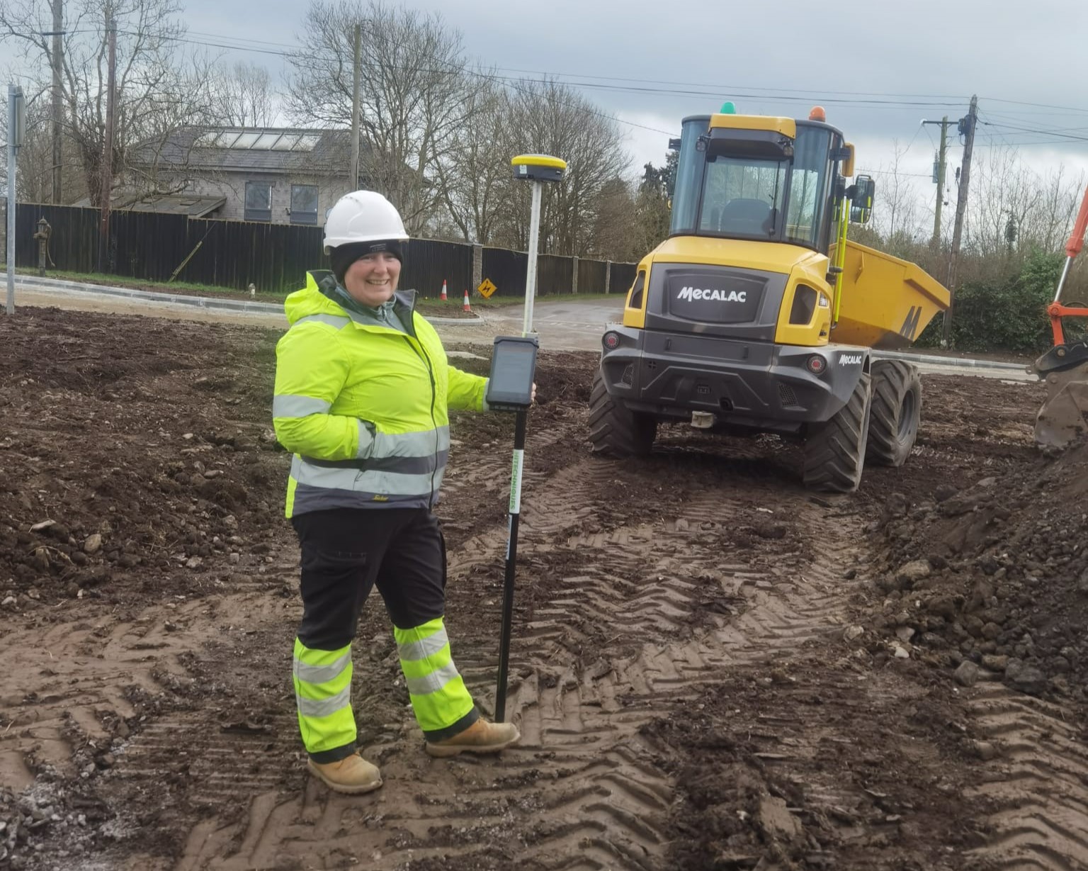
Hitechniques serving tarmac companies in Ireland
Surveying and staking out points are important parts of the process of completing a project for many businesses in the AEC (Architecture, Engineering and Construction) industry. For tarmac contractor having surveying equipment on hand means they can plan the work and quote the customer accordingly, ensure precision during the execution of the design and collect accurate data after completion of the project.
Hitechniques is currently supplying GNSS Rovers to four leading tarmac companies in Ireland. These companies wanted to upgrade to the next level in measurement and the GeoMax Zenith range with the X-PAD Ultimate Survey software was the direction we wanted to bring them. Speed is nothing without direction.
Main reasons for upgrading to GNSS Rovers for site works
When we look to improve a company’s workflow in measurement, we look at what’s drawing them back and what’s not working. Sometimes, it’s a flaw in the setting out when using tapes and lines, but on the other end, it’s the measurement and recording of As-Built drawings.
When you have a GNSS Rover there is no ambiguity in these two scenarios.
When the designer has drawn the site layout, it’s designed using software such as AutoCAD, and this is easily imported into X-PAD via email, cloud, or USB. Once the drawing is georeferenced (drawn in the correct coordinate system), it can be used directly for setting out in the field or road.
Once the works are completed, As-built drawings will be required, which is also easily achieved with the GNSS Rover from the Survey and exported into your PC software in several options, i.e. AutoCAD, X-PAD Fusion, SSC, LandXML.
With the measurement of surface areas (m2) recorded, it’s a straightforward calculation with tendered rates from the BOQ on what the costs are. These files can be overlaid on the original design drawing, and differences are easily seen from the proposed to what was constructed.
Volume Calculations
With the outline of the surface dressing, you can input a depth and show a volume of material to cross reference the calculations, and this is also useful to know what volume was used.
Asking our customers who have tried and tested the system, here’s what they all had to say:
Laura Whelan, Civil Engineer from Brandrake who recently purchased the Zenith60 GNSS Rover, when asked, how has the GNSS Rover made life easier for her:
“We found recording and measuring works completed for invoices is now far more straightforward and eliminates disputes over measures. It leaves the process a lot clearer for clients''.
James Lynn from O’Malley’s Tarmac, Castlebar:
“We have built jobs around the surveys we do for our clients with the Zenith35 and X-PAD. The huge thing for us is that we can bring the survey straight into AutoCAD and design our car parks, parking bays, kerb lines or drop kerbs knowing that when we go out, we can plot all the points on the ground and be confident everything works. The other thing that is key for me is the CAD features on X-PAD, the way we can draw points, lines, or offsets on the side of the road without having to go back to the laptop to do the same thing – huge time saver here when you have a crew waiting for you.
As well as all those key features, we have local authority drawings with all the road markings and signage that we can stake out directly from their drawings, such as pedestrian crossings, double white lines, dashed lines, or islands, taking out the tape measurement and pulling lines. With Hitechniques and GeoMax equipment we can be confident that the job is done right first time.”
Neil Stanley from Stanley Asphalt giving his thoughts:
“Having bought the Zenith35 four years ago after one too many measurement disputes, we haven’t looked back.
The advantage to having done a site survey prior to the job starting and giving the site foreman the area, he needs to cover to the nearest square meter has been a huge advantage. With any large-scale job since we bought the Zenith35, we haven’t needed to have a joint measure with the client because the figures are independent of what both parties think, and a clear number can be factored to our Square Meter rate.
Lastly, it makes it easier to price jobs when you know the area. We can give an accurate estimate of what a job will cost from a site survey. We can do this as quickly as you would walk around the area.”
Noel Kinsella from Mitchell Macadam:
“The biggest challenge we encountered was getting this information back to the office to assess, measure and price jobs in a timely manner for the customer. After we became familiar with the product’s capabilities, this eliminated all the challenges we encountered previously.
We found Hitechniques understood our business needs exactly and were able to put a solution in place in a most timely and efficient manner. This has resulted in efficiencies for job measurement with the clients.
The GeoMax Zenith35 Pro GNSS receiver was demonstrated to us and straight away we could see the benefits this could bring to our business. This resulted in a clarity of job measures whereas previously there were disputes with the clients over measures. The primary benefit of this was getting information from the job site back to the office instantaneously so jobs could be invoiced in a more efficient manner.”
Drainage
Surface treatment and road design are what we see, but in some cases, the Tarmac contractor may have won the job based on their drainage package as well. Using a GNSS rover enables the contractor to bring in drainage drawings of storm gullies, road gullies, gully pots, linear drainage, kerb lines and flow direction. It's very simple to set out a job when you know when the location of the kerb lines are for footpath and road layouts. Proper setout determines the position of the gully pots, which can be positioned in the correct location. How often do we see a gully pot too far out or too far in under a kerb when we didn’t have a position after the marked line had been dug away?
Tarmac companies using GeoMax GNSS Rovers
- Stanley Asphalt Ltd.
- Mitchell McAdam
- Michael O’Malley Tarmacadam Contractors Ltd.
- Brandrake Plant Hire Ltd.