Product Description
Transform your smartphone into a high-precision surveying tool with viDoc®.
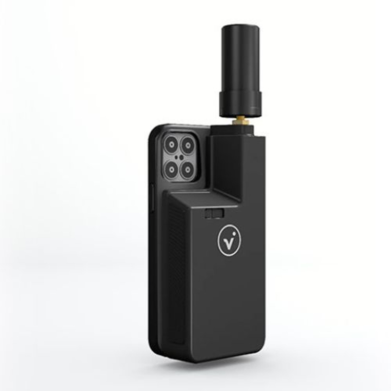
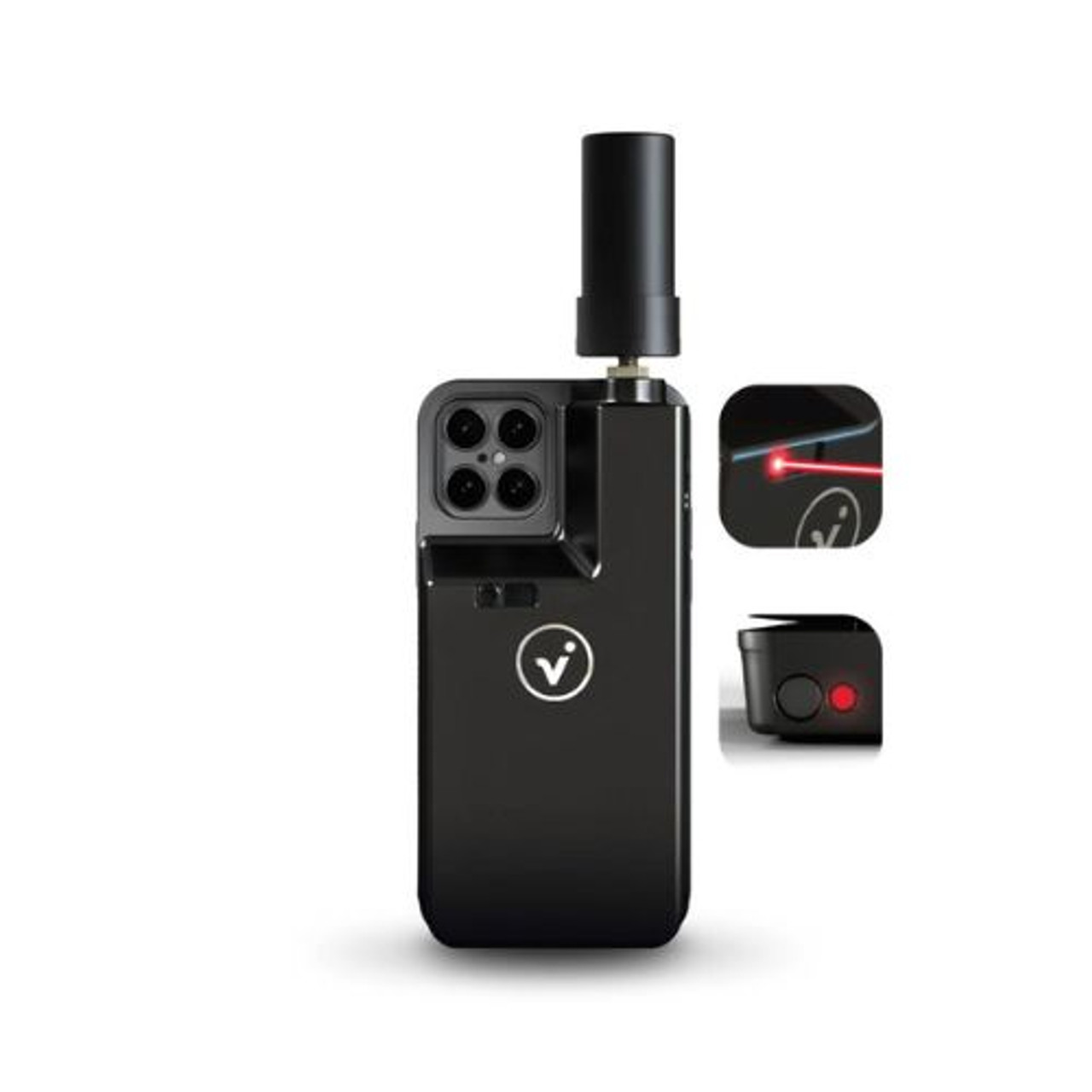
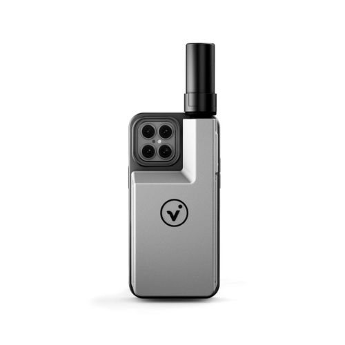
viDoc® is a powerful all-in-one solution for capturing detailed measurements and creating comprehensive documentation – all from your phone. This multi-measurement tool combines a GNSS module, ground laser, and front laser, unlocking a powerful suite of features through the Pix4Dcatch app:
- Generate geo-tagged point clouds, 3D models, orthophotos, and single photos instantly.
- Scan construction sites and create digital twins directly from your phone.
- Perform virtual inspections for remote monitoring.
- Survey pipelines and hidden utilities with confidence.
- Document structures like bridges and historical sites before maintenance.
- Recreate accident scenes quickly and efficiently, minimizing traffic disruption.
Choose the perfect antenna for your needs:
- Standard Antenna: Ideal for open field measurements and basic surveying tasks.
- Performance Antenna (with calibration measurement): Delivers centimetre-level accuracy even in challenging environments like rough terrain or urban areas. This option is perfect for engineering surveying, where precision and reliability are paramount.
With viDoc®, you can streamline your workflow, capture highly accurate data, and create professional documentation – all with the convenience of your smartphone.
Not sure if viDoc® is worth the right solution for you? Try it without the upfront cost with our 30-day free trial! Contact us today for details.
Included:
- Standard or Performance GNSS antenna
- Front laser
- Ground laser
- Charging cable
- User manual

